RGB orthophotomap
– Current imaging area
– Identification of changes in the area
– Measurement of area, length and distance, free field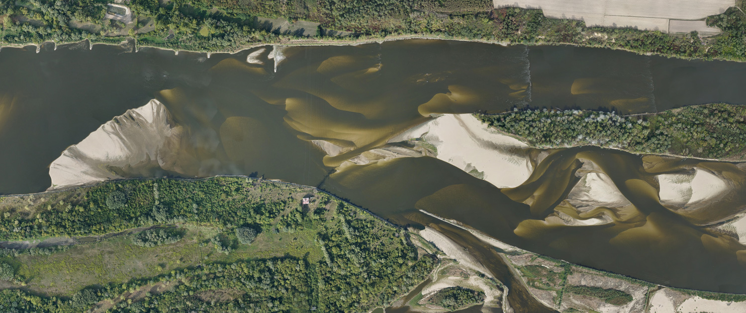
TV Records
– unical shoots
– up to 2h records on one flight
– uncompressed material in 4:2:2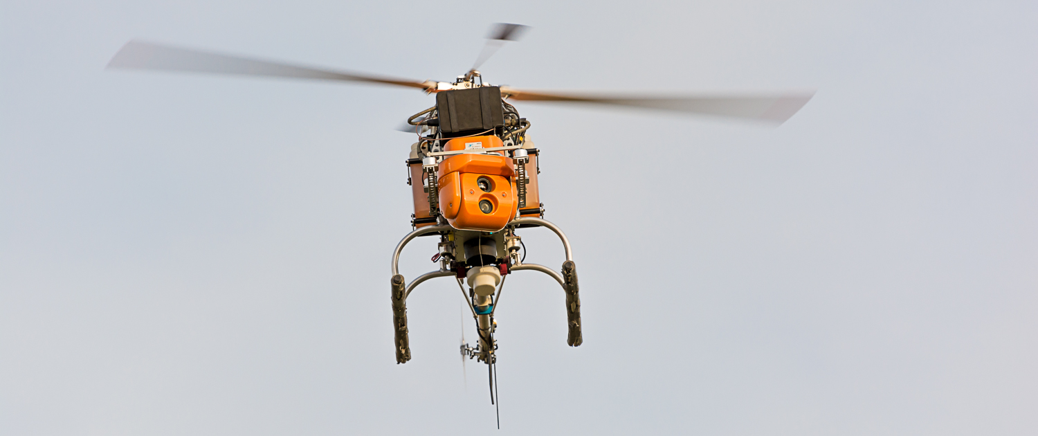
CIR orthophotomap
więcej informacji– condition of plants and trees
– identify areas of green
– location of wetlands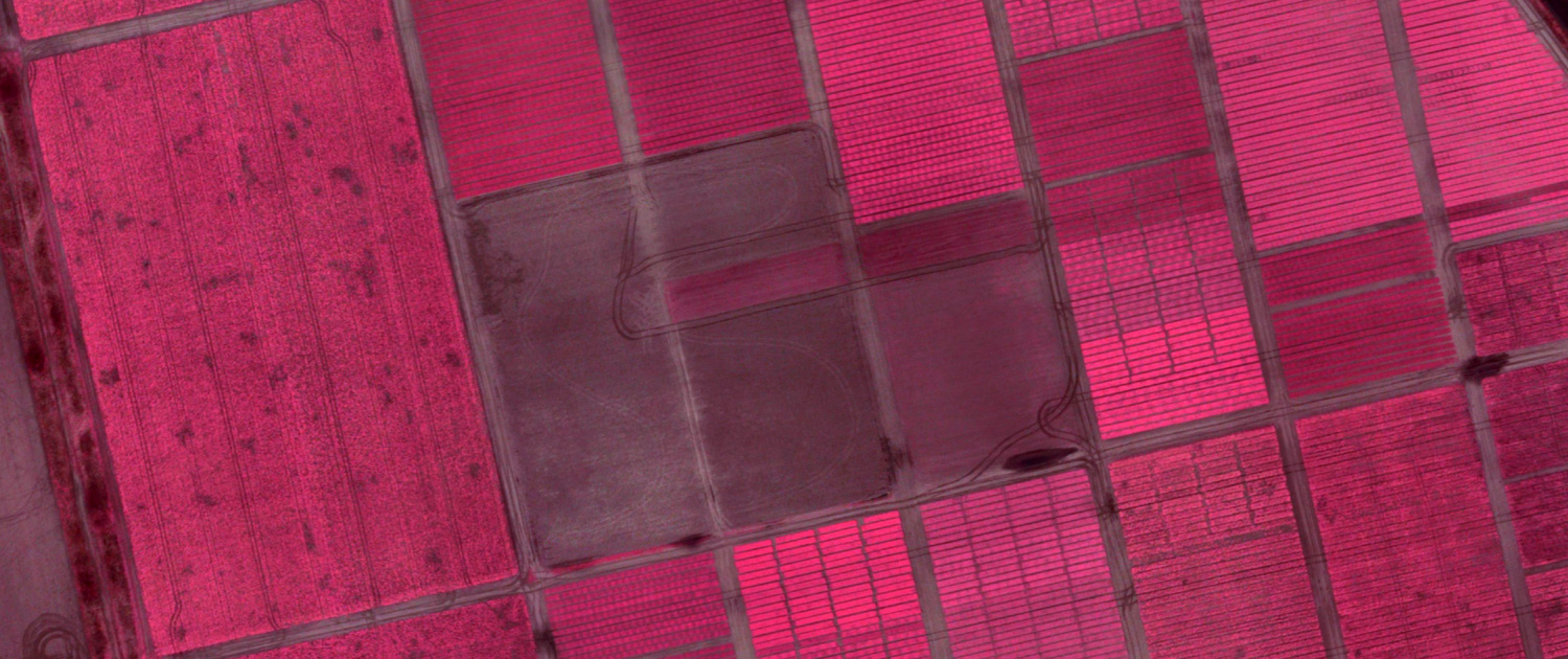
NDVI orthophotomap
więcej informacji– condition of crops
– rate of dosing of fertilizers
– estimation of the crop amount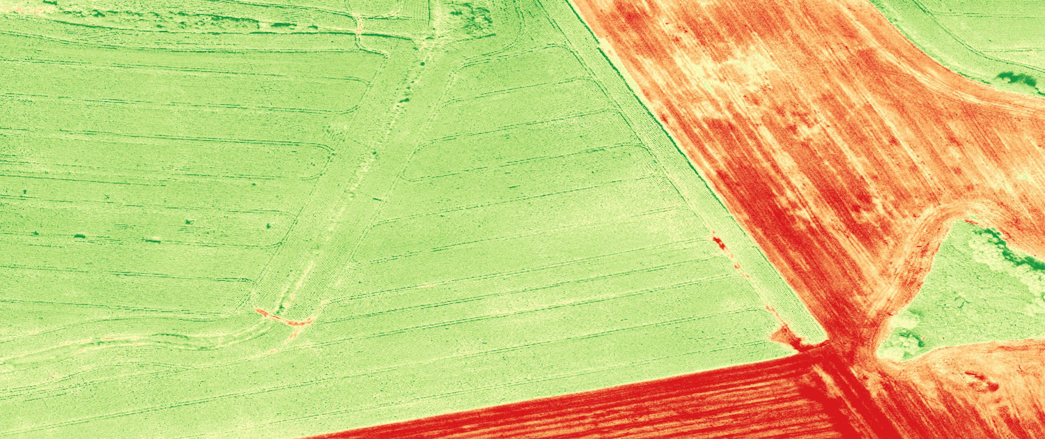
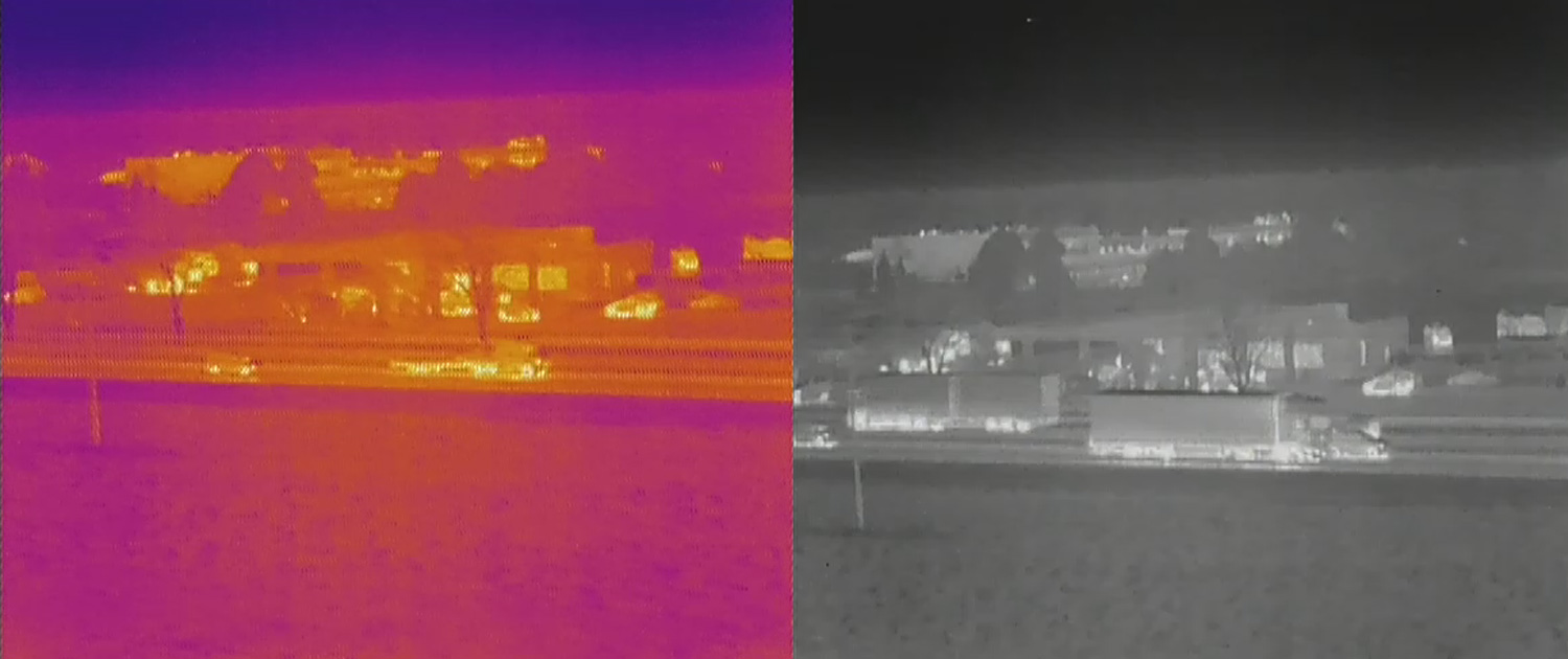
Aerial thermovision
więcej informacji– thermovision from a new perspective
– assessment of the infrastructure
– environment analysis