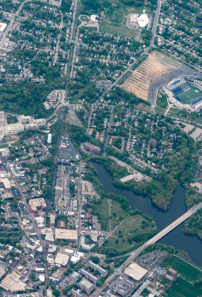
Orthophoto maps delivered by IWING are produced through professional photogrammetric surveys using advanced UAVs equipped with high-resolution cameras. Every project is executed in line with rigorous standards of quality and accuracy.
Our orthophotos combine the clarity of aerial imagery with the precision of mapping data—they are geometrically corrected, calibrated, and ready for advanced spatial analysis. They provide a reliable foundation for planning, technical documentation, and comparative assessments.
IWING carefully selects flight parameters and data processing workflows to ensure that the final deliverable is fully aligned with the client’s business or technical objectives—maximising usability and value.