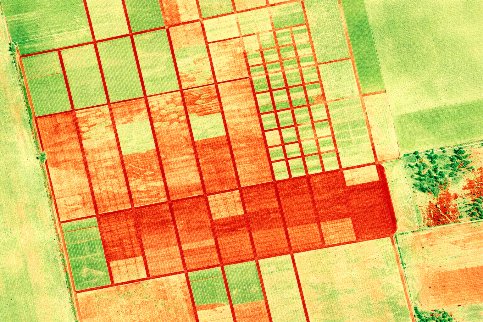
IWING offers vectorisation of data derived from orthophoto maps, point clouds, and other remote sensing sources. This process converts raster data into precise, editable vector layers.
Vectorised data can be directly used in spatial analysis, technical design, and geographic information systems (GIS). Each project is delivered with a strong focus on geometric accuracy and logical data consistency.
This is complemented by advanced data analysis, including measurements, data summaries, and interpretation—tailored to the specific needs of the end user.