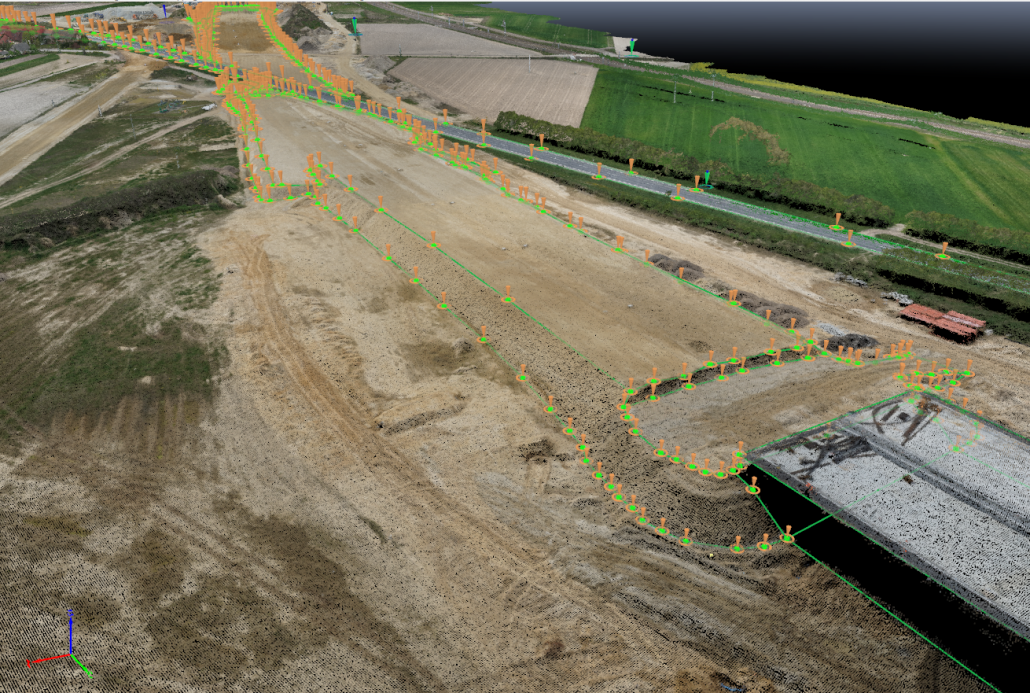
IWING develops Digital Terrain Models (DTM) and Digital Surface Models (DSM) based on photogrammetric data and point clouds. These models accurately represent both the geometry of the terrain and the objects located on its surface.
The Digital Terrain Model reflects the true shape of the ground, making it essential for technical and environmental analysis. The Digital Surface Model includes above-ground features, enabling more advanced spatial analysis and modelling.
All data is delivered in formats ready for direct use in analytical, design, and decision-support systems.