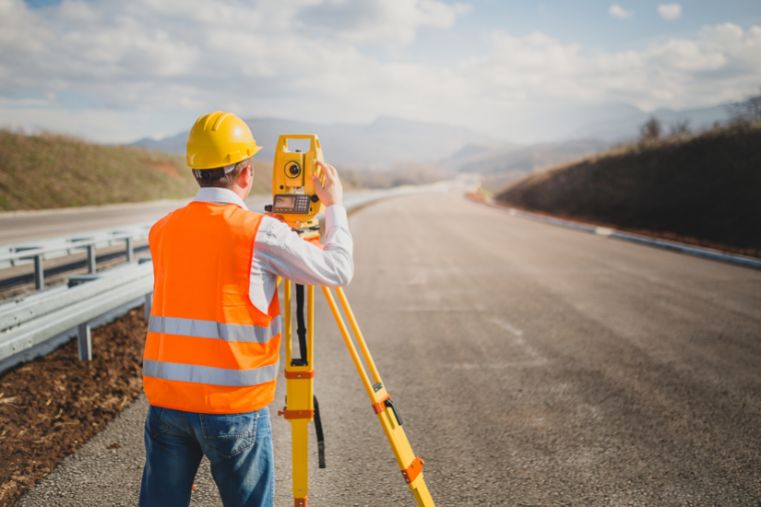
Our drone services significantly enhance the efficiency of surveying companies by delivering fast, high-precision aerial data. With orthophotos, 3D terrain and object models, and photogrammetric imagery, surveyors can plan and execute fieldwork more efficiently than ever before.
When working with surveying firms, we focus on saving time and optimising resources. Drones enable complex measurement operations across large areas without the need for extensive field teams.
The data we deliver is ideally suited as a base layer for design maps, cadastral modernisation projects, and large-scale asset and site inventories.
We provide ready-to-use datasets for further analysis in GIS environments, along with tools that support informed design decisions. Our solutions are effective for both linear projects (such as roads and utilities) and large-area developments